On our last day in the Saint Tropez area, we decided to wander around the peninsula and visit the inland villages while staying well away from the more metropolitan areas at its northern end.
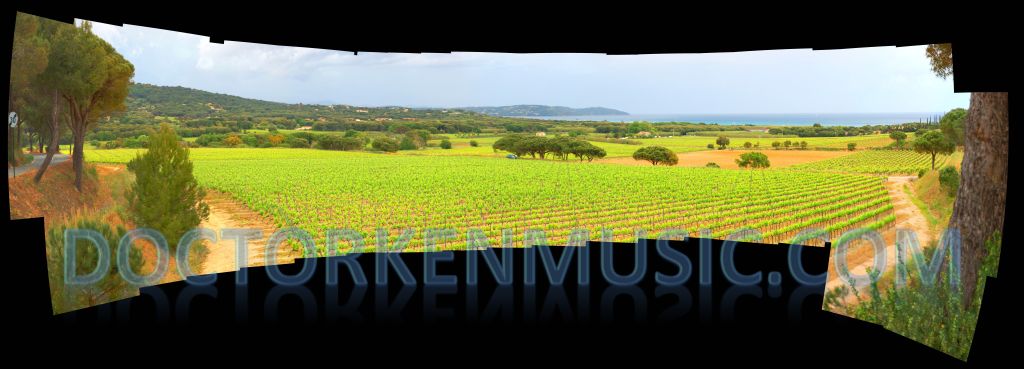
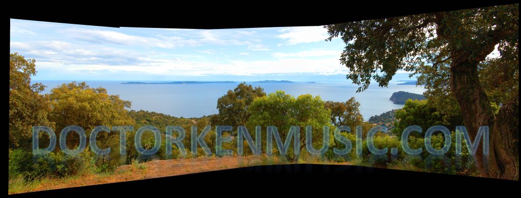
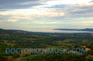
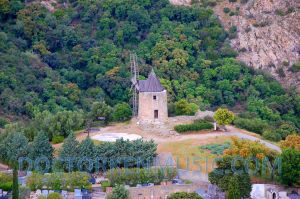
We started off along the coast but broke inland just past Port Grimaud and drove up to Gassin for this vista of the Saint Tropez Gulf.
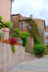
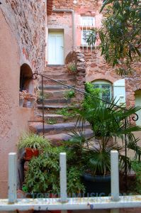
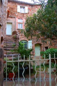
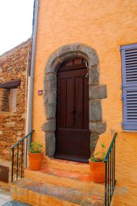
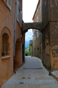
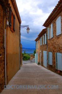
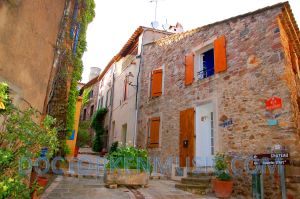
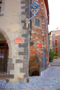
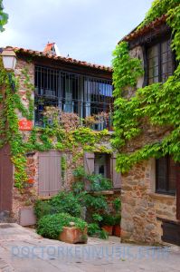
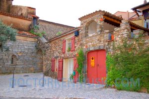
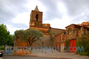
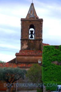
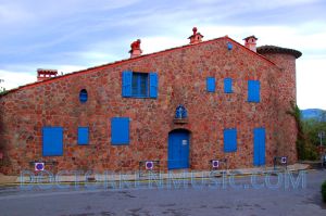
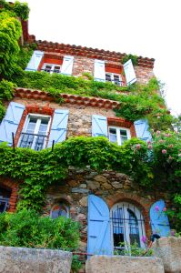
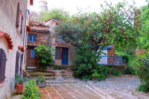
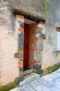
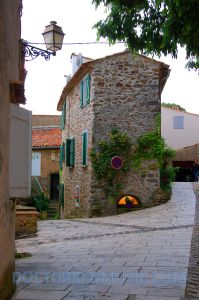
Here are some pictures of Gassin itself.
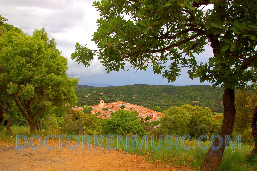
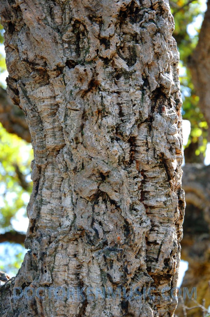
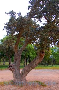
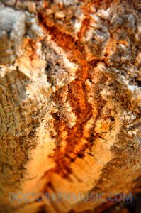
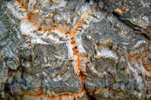
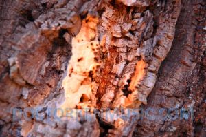
After wandering around Gassin for about twenty minutes, we got back in the car and continued southwest on the Chemin des Moulins de Paillas. As we climbed into the hills, I finally saw something I’d been looking for, but had not found: cork oaks. Not just a few, but thousands of them. I knew that they were a type of oak tree, but the leaves don’t look like typical oak leaves, but look at the bark of the tree and it’s immediately obvious that you are looking at cork on the hoof. Truly bizarre.
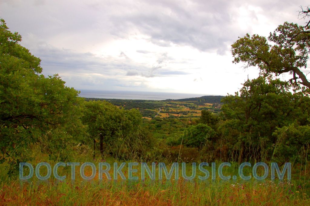 Immediately below us was the town of Ramatuelle, but we didn’t stop there until later in the day.
We continued southwest toward the coast looking for somewhere to get lunch. We saw a sign for a snack bar at a campground and detoured up the Route de L’Escalat, but it was closed. We continued past the campground to the village, but couldn’t find anything open so we turned around and headed back toward the beach road.
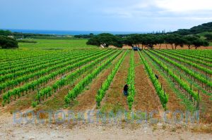
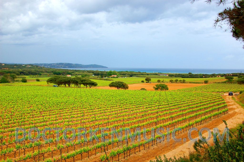
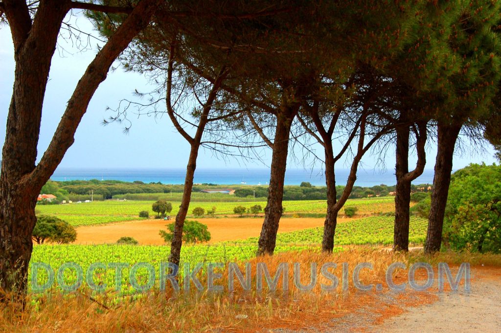
On our way back out, we stopped to take some photos of a vineyard and the men working it just as the weather turned sour.
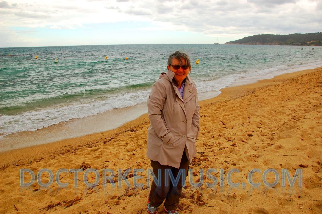
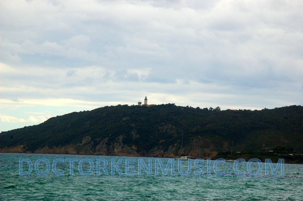
It was early in the season, cold and rainy, but we decided we still wanted to see what all the fuss about Saint Tropez beaches was about. We also figured we could get something to eat there. Well, we arrived, parked the car and started walking up past the private clubs and seaside restaurants, but ended up deciding we didn’t want to pay top dollar for crappy food again so I just took a single photo of Donna on the beach and one of the lighthouse and weather station (you can see it in the background of the first photo) to prove we’d been there and headed back the way we’d come.
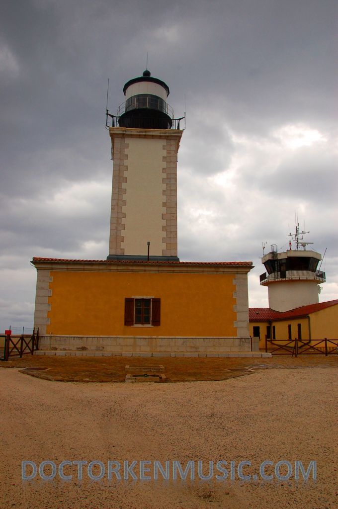
Back out on the road, we headed for the Phare de Camarat. Unfortunately, it was closed to the public at the time and all we could do was look at the lighthouse and adjacent weather station from outside the gate. We would have milled around longer, but we were getting seriously hungry at this point.
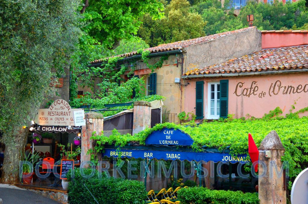
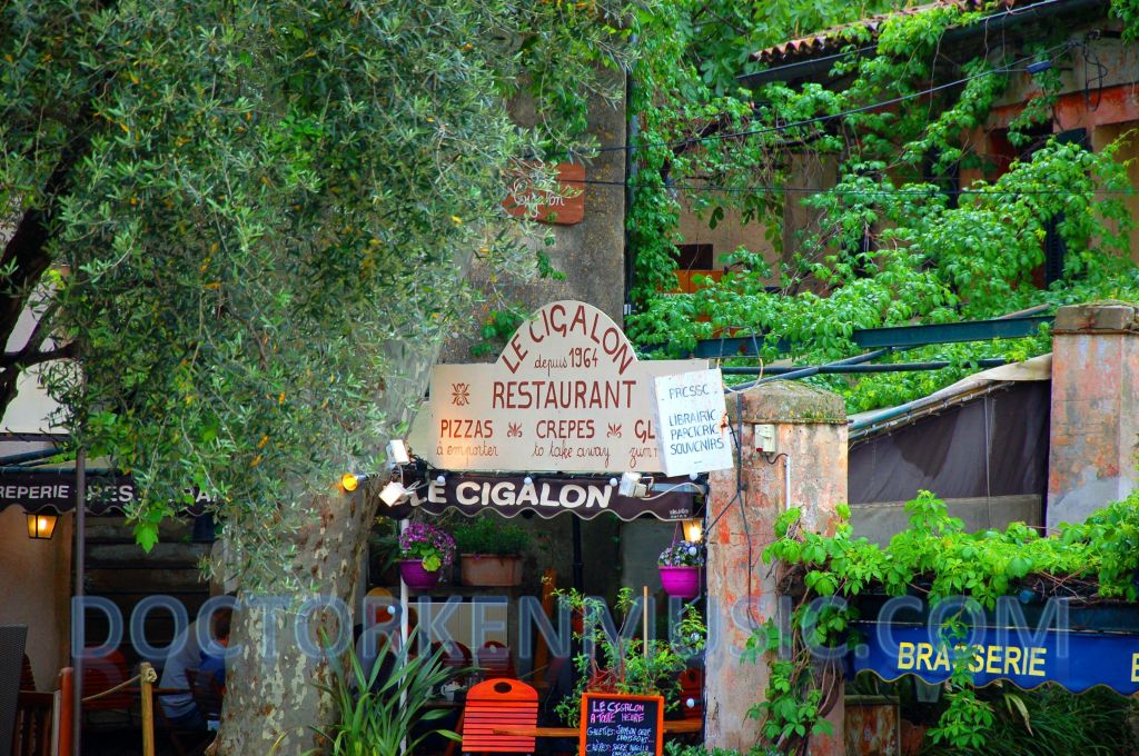
We headed back to Ramatouelle, parked at the bottom of the hill and walked up into town in the rain hoping that we could still find a restaurant open so late in the afternoon. One thing we always seem to do when we are in France is take so long to decide where to have lunch, that the restaurants start closing and our choice is usually the only one that is still open. And so it was on this day…. We walked past three or four cafes that were all closed until the evening and found two open establishments at the top of the hill. The cafe was dry and out of the weather, but completely packed and not seating anymore customers. The little pizzeria next to it was also full except for the wet seats at the edge of the canopy, but we were welcome to those. Well, we were hungry, cold, thirsty and already wet, so…WTF. We sat down on the bench, ordered wine and two pizzas. It was the best (and cheapest) meal of the entire trip).
If you make your way up to Ramatouelle, I recommend you have lunch at La Cigalon, but pick a nice sunny day (odds are in your favor).
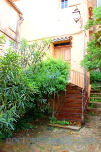
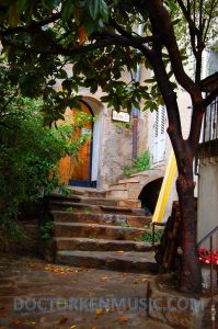
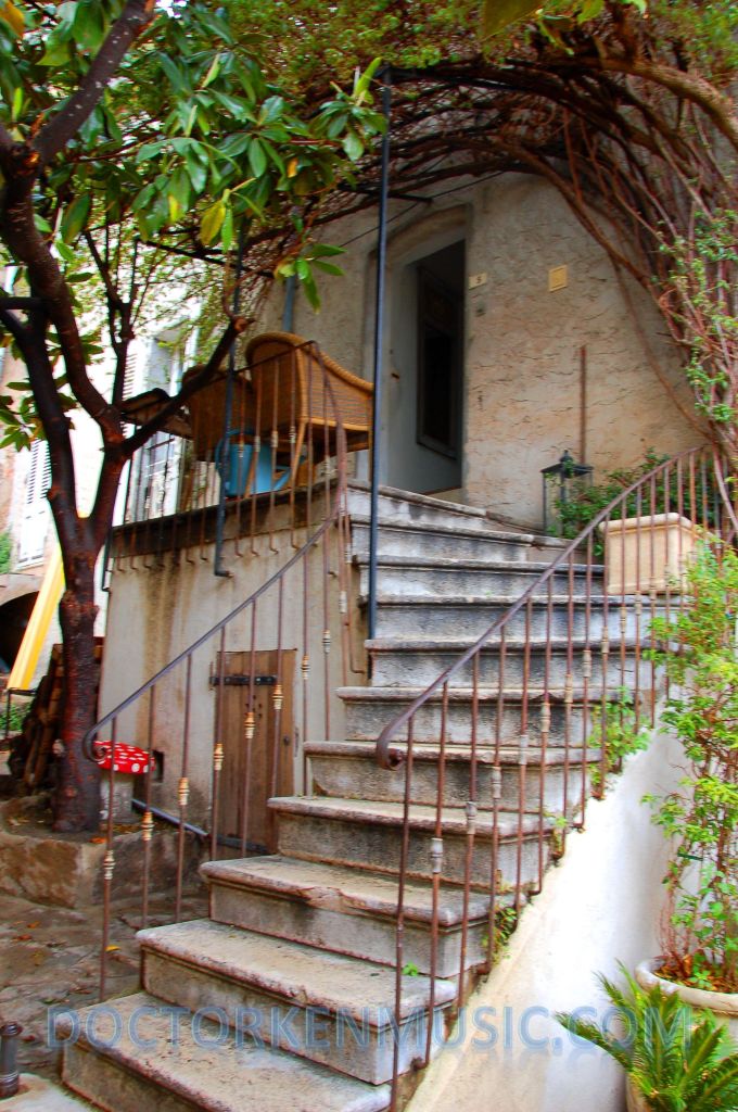
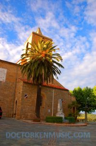
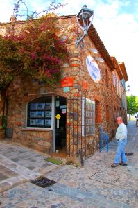
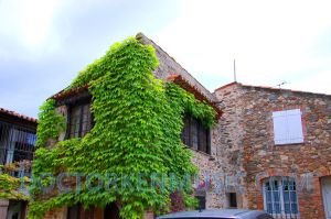
Fueled by pizza and lubricated with wine, we finally took the time to look around this little town and take a few photos.
Back on the road, we headed south toward the coast on the twistiest road I’ve seen in a very long time. Perhaps even more incredible, Donna was driving! We headed for La Croix- Valmer on the D93. NOT FOR THE FAINT OF HEART!
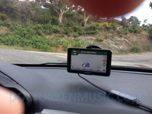
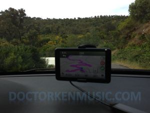
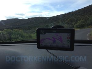
We continued along the coast past La Croix-Valmer and on to Rayol-Canadel-sur-Mer where we headed north into the hills. This was the most insane and fun set of switchbacks, curves and vistas per mile I have ever seen (better than southwestern PA, better than the mountains of Arkansas, better than Vermont). Since I was in the co-pilot seat, I was free to take pictures with my phone to show just how twisty this bit of road was.
Click here to play the video. It’s hysterical. Driving Video
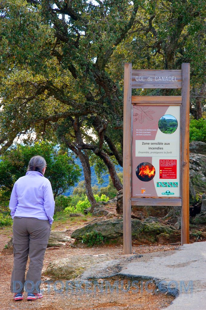
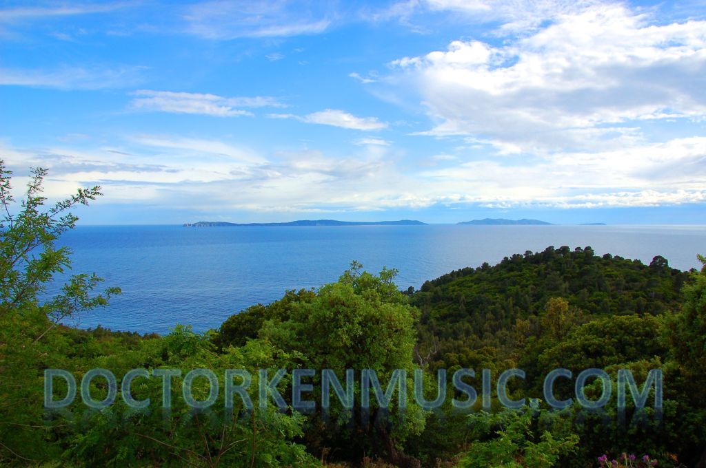
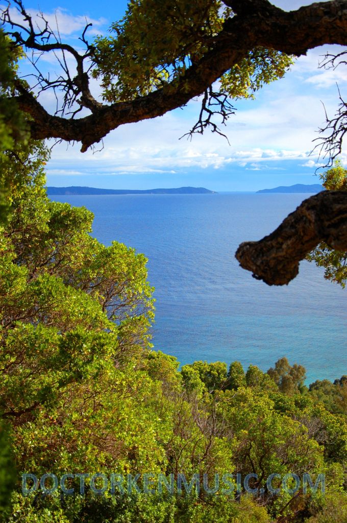
We stopped at a little natural area called Col du Canadel (more cork oak trees). Again, thousands of cork oaks along this route and stunning vistas of the Mediterranean. The islands in the distance are (from left to right) Ile de Levant, Ile de Port-Cros and Ile de Bagaud.
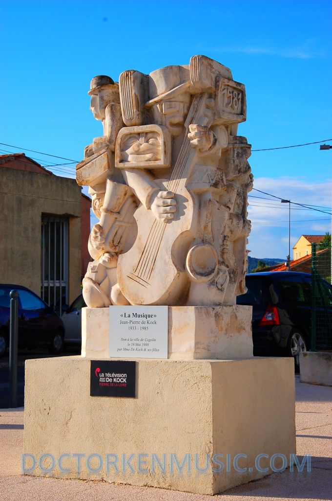
We headed next for the little town of Cogolin where we found this cool statue with a musical theme.
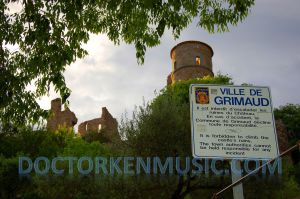
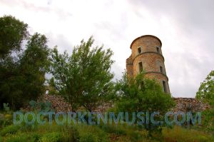
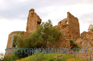
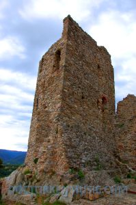
Our last stop of the day was the town of Grimaud with its ruined castle at the top of the hill in the center of the medieval village. We stopped outside of town at the bus stop because we were fascinated by the view juxtaposing the modern road system and the old castle of the village in the distance.
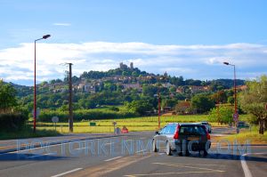
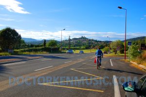
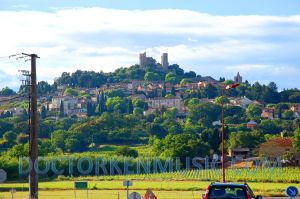
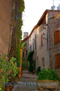
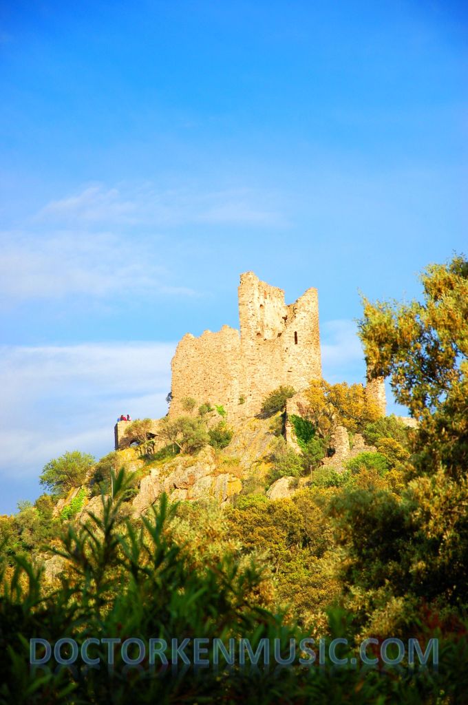 Grimaud is a really cute town on a very steep hill and the climb to the top is further than it appears. (Trust me on this.)
Just inside the old village wall is an amphitheater wired for modern use.
But…we still had a ways to climb….
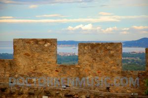
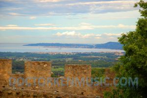
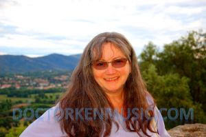
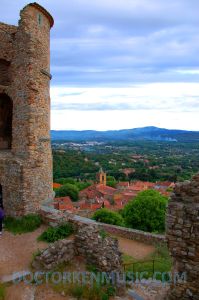
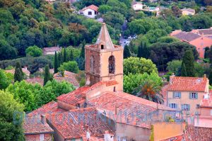
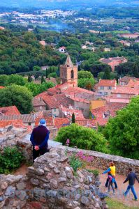
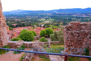
Once at the top, the view was worth it even though the sun was going down.
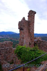
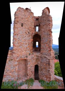
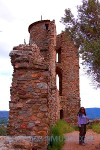
It seemed like we studied every inch of the castle, but eventually went back down into town to take some photos since we were in a rush to get to the top after we arrived.
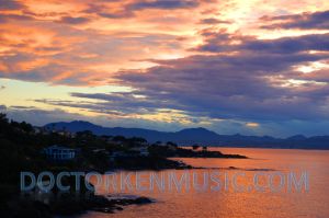
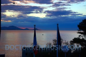
It had been a long, cold, rainy day and we were ready to head back to the hotel, so we headed back down toward the north coast with the intention of just driving the quickest way back to Saint-Aygulf.
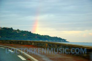
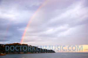
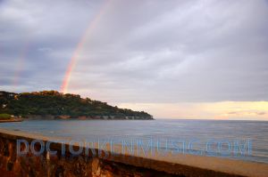
But, once we got to the shore, we were treated to a wonderful double rainbow. The perfect end to a less-than-perfect day.
One more installment to go (yeah, I thought I was done too). Next: The fruitless search for our favorite fungus and some Bubonic buffoonery.
